CarbonLedger — Satellite-Verified Carbon Credit Registry
Every tonne of carbon measured from orbit, minted on-chain and traceable from tree to buyer.
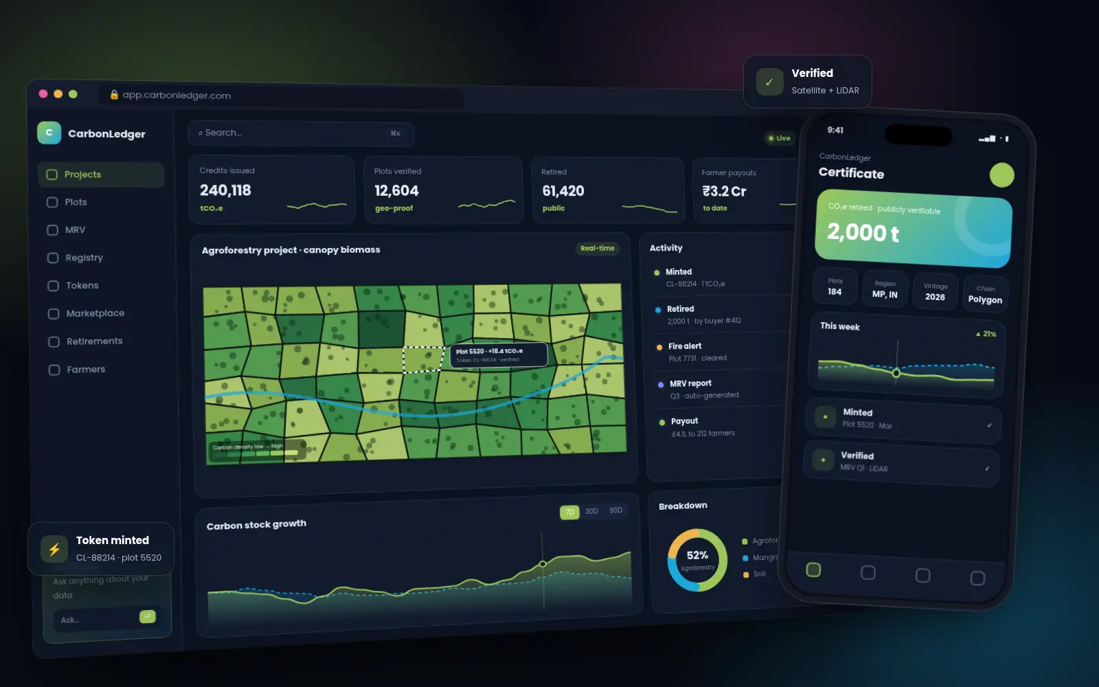
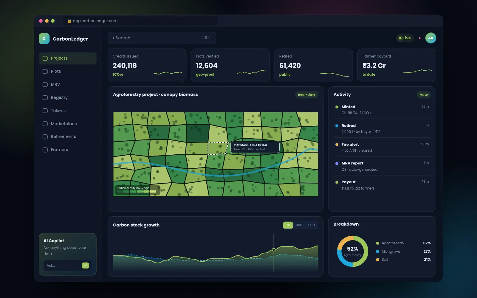
CarbonLedger digitises the full measurement, reporting and verification (MRV) process for nature-based carbon projects. AI estimates biomass growth from satellite and drone data, verified credits are tokenised on a low-energy blockchain, and corporate buyers can trace every credit back to its exact plot of land.
The challenge
Carbon markets suffer from a trust problem: manual audits are slow and expensive, double counting happens, and buyers cannot verify that the forest behind their credits actually exists and keeps growing.
Our solution
We built a digital MRV pipeline using satellite canopy-height models and drone LiDAR, a registry that mints each verified tonne as a unique token with geospatial proof, and a buyer marketplace with retirement certificates that anyone can verify publicly.
Key capabilities
01Digital MRV
- AI biomass & carbon estimation from satellite + LiDAR
- Deforestation & fire alerts
- Field-team mobile app with geotagged evidence
- Automated verifier reports
02Registry & Tokens
- One token per verified tonne, with plot polygon proof
- Double-counting prevention
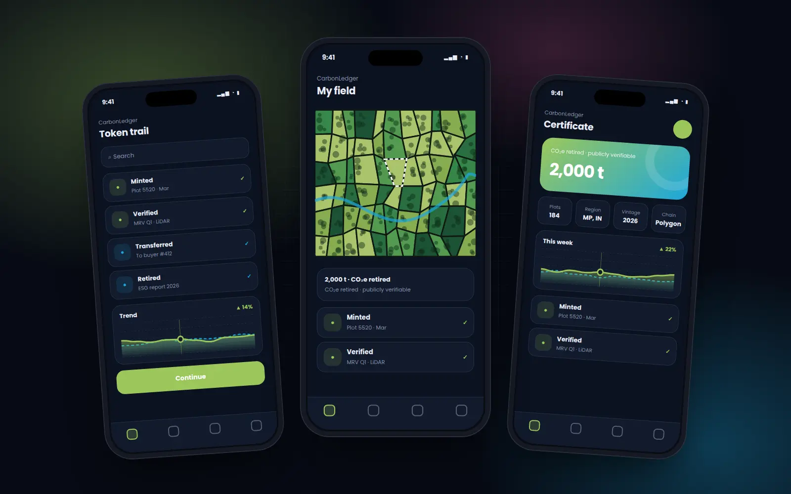
- Public retirement certificates with QR verification
- Low-energy proof-of-stake chain
03Marketplace
- Corporate buyer portal & ESG reports
- Farmer revenue sharing dashboards
- Project pipeline & due diligence rooms
- API for sustainability platforms
Screens & experiences
Technology stack
Want results like CarbonLedger?
Tell us about your idea — we'll reply with a plan and estimate within one business day.